TheGeoModels · Video summary
The crookedest dad-burned road in the Appalachians has a good excuse
The "Tail of the Dragon" road's extreme curves are dictated by complex bedrock geology with thin, fractured layers, creating high drainage density, unlike smoother Appalachian terrain formed by thicker, more massive rock.
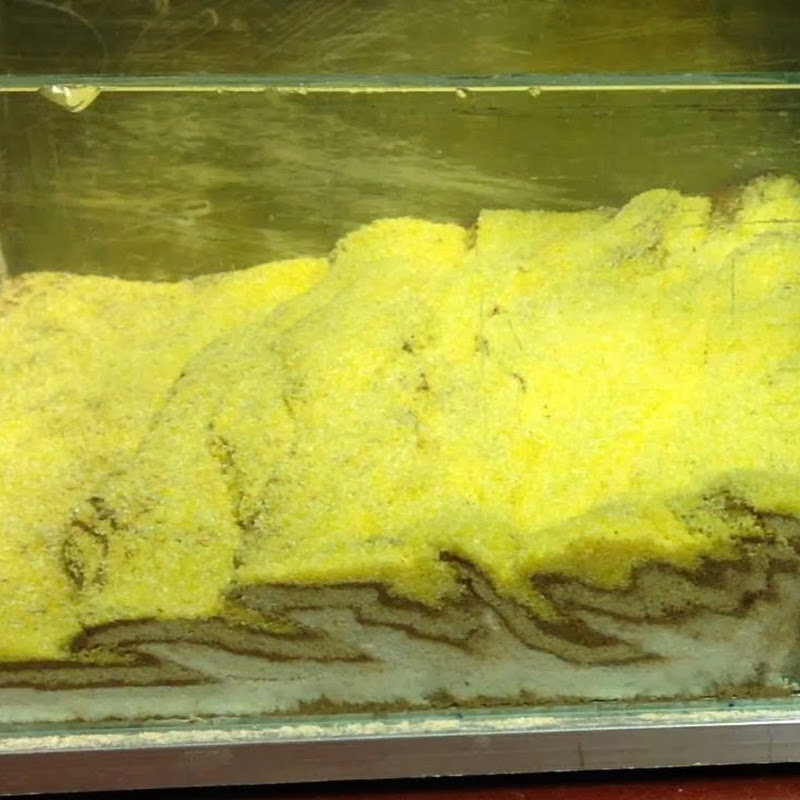
 Watch on YouTube ↗
Key takeaways
- 🎯Road design is fundamentally constrained by underlying geology, which dictates topography, drainage patterns, and ultimately, the number and tightness of curves needed to navigate terrain.00:52
- 🔧Recognize that extreme road features, like the "Tail of the Dragon," are often necessary adaptations to geological constraints, not simply poor design choices.01:00
- 🚀When planning or analyzing infrastructure in mountainous regions, prioritize understanding the local bedrock geology as a primary determinant of terrain complexity and potential engineering challenges.03:17
- 💡High drainage density, characterized by numerous small, tightly spaced stream valleys, results from thin, fractured bedrock and leads to complex, highly curved roadways.03:32
- 📈Landscapes formed by massive, thick rock layers tend to have fewer, wider stream valleys and longer slopes, allowing for straighter roads with fewer, larger curves, despite significant elevation changes.09:20
- 📚When evaluating different regions, compare their geological composition to anticipate variations in landscape features and their impact on construction and travel.12:24
Chapters
- 0:00🎯 Introduction to the Tail of the Dragon
- 0:52🎯 Road building challenges in rugged terrain
- 1:38🎯 Variability of mountain landscape
- 2:44🎯 Landscape influences and geologic controls
- 3:29🎯 Drainage density and landscape complexity
- 6:08🎯 Road design in complex terrain
- 7:12🎯 Geologic factors behind landscape patterns
- 9:02🎯 Comparison of different geologies and landscapes
- 11:22🎯 Rock types and their influence on topography
- 19:11🎯 Geologic maps and landscape expression
- 19:41🎯 Geology's role in Appalachian road engineering
- 20:51🎯 Differences between the Appalachian mountains and other ranges
The digest
High-Level Overview
This analysis explores why US 129—known as the Tail of the Dragon—stands out as possibly the crookedest road in the Appalachian Mountains. Situated along the North Carolina-Tennessee border in the rugged foothills of the Great Smoky Mountains, its extreme curves are not simply the result of poor engineering but are a direct consequence of the region's complex geology and topography. Understanding this relationship between bedrock type, drainage density, and landscape morphology offers important insights for infrastructure design in mountainous regions, making this explanation valuable to geologists, civil engineers, and transportation planners.
Keep reading in The Digest
The full 5-minute article, 8 more sections, and every new episode from TheGeoModels and the creators you follow.
- The Challenge of Road Building in Rugged Mountain Terrain
- Geology as the Driver of Landscape Complexity
- Illustrative Comparison of Landscape Patterns and Road Design
- Real-World Examples Confirming the Link Between Geology and Topography
- Strong Regional Correlation Between Rock Type and Landscape
- Key Framework: Bedrock Geology’s Control on Mountain Topography and Road Design
- Practical Implications & Takeaways
- Action-Oriented Summary